Yu Xiang Tan
  • Bio
  • Papers
  • Experience
  • Projects
  • Teaching
  • Recent & Upcoming Talks
    • Example Talk
  • Teaching
    • Mobile Robotics 2025
  • Projects
    • MERLION
    • Map-Fusion
    • SON-IS
  • Publications
    • MERLION: Marine ExploRation with Language guIded Online iNformative Visual Sampling and Enhancement
    • Robust Vehicle Localization and Tracking in Rain Using Street Maps
    • WaveDiff: Underwater Visual Data Enhancement with Wavelet-Accelerated Diffusion
    • Online Informative Sampling Using Semantic Features in Underwater Environments
    • Evaluating Visual Odometry Methods for Autonomous Driving in Rain
    • Localization with Anticipation for Autonomous Urban Driving in Rain
    • Point-of-Interest (POI) Data Validation Methods: An Urban Case Study
  • Projects
  • Blog
    • ๐ŸŽ‰ Easily create your own simple yet highly customizable blog
    • ๐Ÿง  Sharpen your thinking with a second brain
    • ๐Ÿ“ˆ Communicate your results effectively with the best data visualizations
    • ๐Ÿ‘ฉ๐Ÿผโ€๐Ÿซ Teach academic courses
    • โœ… Manage your projects
  • Experience

Map-Fusion

Sep 4, 2024 ยท 1 min read
Go to Project Site

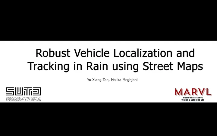
Map-Fusion is a sensor fusion approach to localizing in rain using visual data, intermittent gps data and map information from a crowdsourced map.
Last updated on Sep 4, 2024
Sensor Fusion Adverse Weather Visual Odometry
Yu Xiang Tan
Authors
Yu Xiang Tan
PhD Candidate

← MERLION May 22, 2025
SON-IS Feb 9, 2024 →

ยฉ 2025 Me. This work is licensed under CC BY NC ND 4.0

Published with Hugo Blox Builder โ€” the free, open source website builder that empowers creators.